Click on any photo to see a larger version
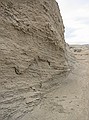 Walking creek bed in Mancos Shale, Cretaceous Book Cliffs, UT. GPS: U01 |
 Walking creek bed in Mancos Shale, Cretaceous Book Cliffs, UT. GPS: U01 |
 Walking creek bed in Mancos Shale, Cretaceous Book Cliffs, UT. GPS: U01 |
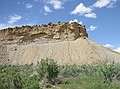
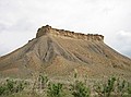 Mesa Verde Group capping the Mancos Shale. Eastern Utah, north of I-70 on Book Cliffs road. |
 Mancos Shale (lower) capped by Mesa Verde Group. Between GPS "U01" & "U02". |
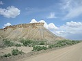 Mancos Shale (lower) capped by Mesa Verde Group. Between GPS "U01" & "U02". |
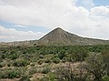 Possible Tepee Butte formation in Mancos Shale. Between GPS "U01" & "U02". |
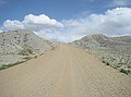 Contrast of grey Mancos Shale with tan dirt road. |
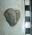
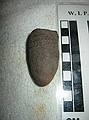
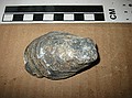 Unident. clam. Mancos Shale GPS "U01" |
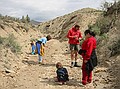
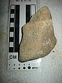
 From creekbed running through Mancos Shale GPS "U01" |
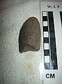
 Unident. invertebrate. From creekbed running through Mancos Shale. GPS "U01" |
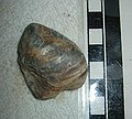 Unident. clam. From creekbed running through Mancos Shale. GPS "U01" |
 Unident. clam. From creekbed running through Mancos Shale. GPS "U01" |
 Approx 30 meters above GPS: "U02" |
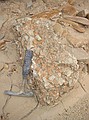
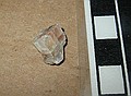
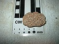
 Oolitic limestone. |
 Oolitic limestone |
 Oolitic limestone |
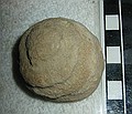
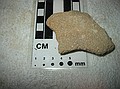
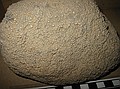
 Unident. - concretion? |
 Unident. - concretion? |