Mesa Verde Group, Book Cliffs, Eastern UT, No. of I-70, 5/7/2003
Prev | Index
For This Date | Next
Prev | Index
For This Date | Next
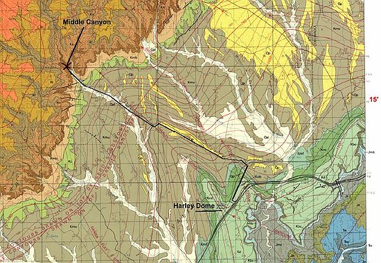
Map showing route to GPS waypoint "U02" - N39*18.030'; W109*17.859'; Elev 5323'. Heading west on I-70, just past rest area. North on road leading to old highway (Hwy-6). the back east to dirt 2nd dirt road heading north. Follow signs to Middle Canyon road. Go past private ranch with no trespassing signs (you will find many petroglyphs here) and proceed 1-2 miles on dirt road past ranch.