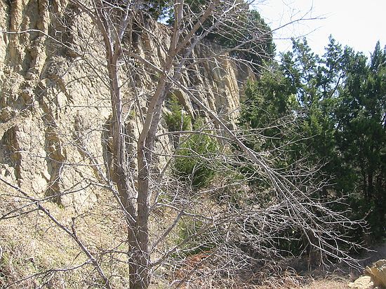
Fossil Collecting in Arbuckle Mtns, Oklahoma, 3/24/2003
Prev | Index
For This Date | Next

Prev | Index
For This Date | Next
Stop #4, Arbuckle Mtns, Elev: 875 ft, Hwy 77-D roadcut (where it passes under I-35). Take Davis (Hwy 7) exit, go west for 1/4 mile, then onto 77-D road. Roadcut underneath I-35, near Falls Creek Assembly & on Hwy 77-D, South. I-35 passes over state highway 77-D just south of the Turner Falls exit. The actual cut is on 77-D and runs about 1/4 mile east and west of I-35. Roadcut on the west side of I-35 is Devonian/Silurian limestone. It is slightly yellowish in color and contains trilobites, crinoids, brachiopods, etc. GPS waypoint "OK2".

